Aerial Survey & Mapping
Hawkeye Imagery draws from experts in the Geographical Information Science to provide high resolution and area specific drone surveys. We open new possibilities in all industries as to what can be captured and monitored as an on-demand and affordable option compared with traditional aeroplanes or satellites.
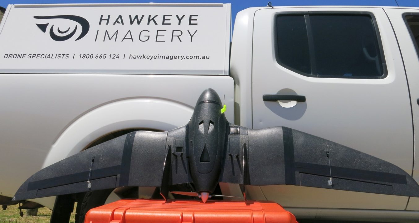
We operate from two forms of UAV platforms (fixed wing and multi-rotor), to provide high resolution, geo-referenced imagery from a low altitude.
Fixed Wing cover a vast surface area over a longer length of time (up to 1.5hrs) by flying our Blackbird fitted with both Near Infrared (NIR) and standard (RGB) MAPIR Survey 2 16 MP cameras. This is most suited to agricultural or large-scale mapping whereby a greater height and larger area can be covered whilst maintaining a resolution down to 50mm.
Our multi-copter UAVs can be programmed to fly the same path every time and are most valuable for covering smaller, more defined areas to produce a high-resolution dataset with minimal data redundancy. We operate a 20mp RGB camera as well as a 16mp Parrot Sequoia, which is one of the most powerful agricultural multispectral sensors to date.
Our professional grade cameras provide amazing quality and GSD down to 30mm. We do have adaptable technology to fit different camera specs which allows us to adjust our equipment to match the requirements of our clients’ needs.
Hawkeye Imagery uses multispectral and near infrared cameras. Our surveying services include:
– Thermographic surveys
– Digital Terrain Models (DTM’s)
– Volumetric calculations
– Geo-referenced orthomosaics and multispectral imagery
– Point cloud generation